

Geographic Analysis & Planning
Where real-world assets become actionable information
GreenGAP empowers your team to bridge the gap between complex field data and efficient office management. We transform static site information into a dynamic, digital ecosystem.
Stop Searching. Start Solving.
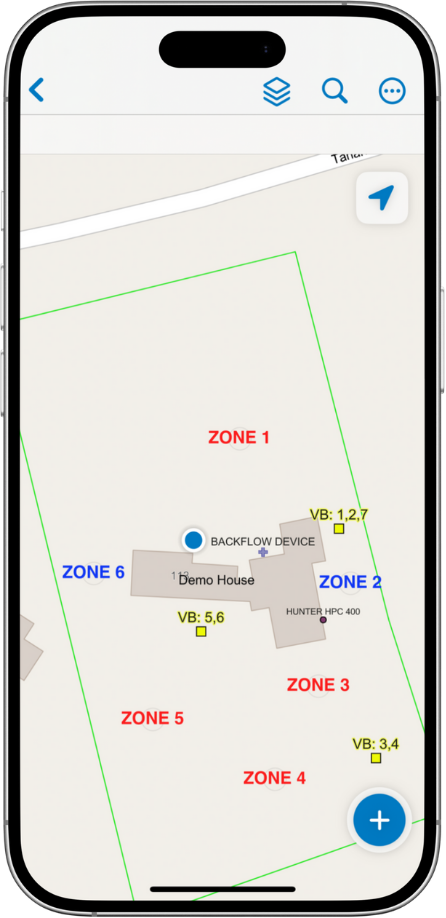
Create clear, organized property maps.
Precision Digital Mapping

Find field assets instantly.
Faster Location

Manage office work with ease.
Confident Coordination

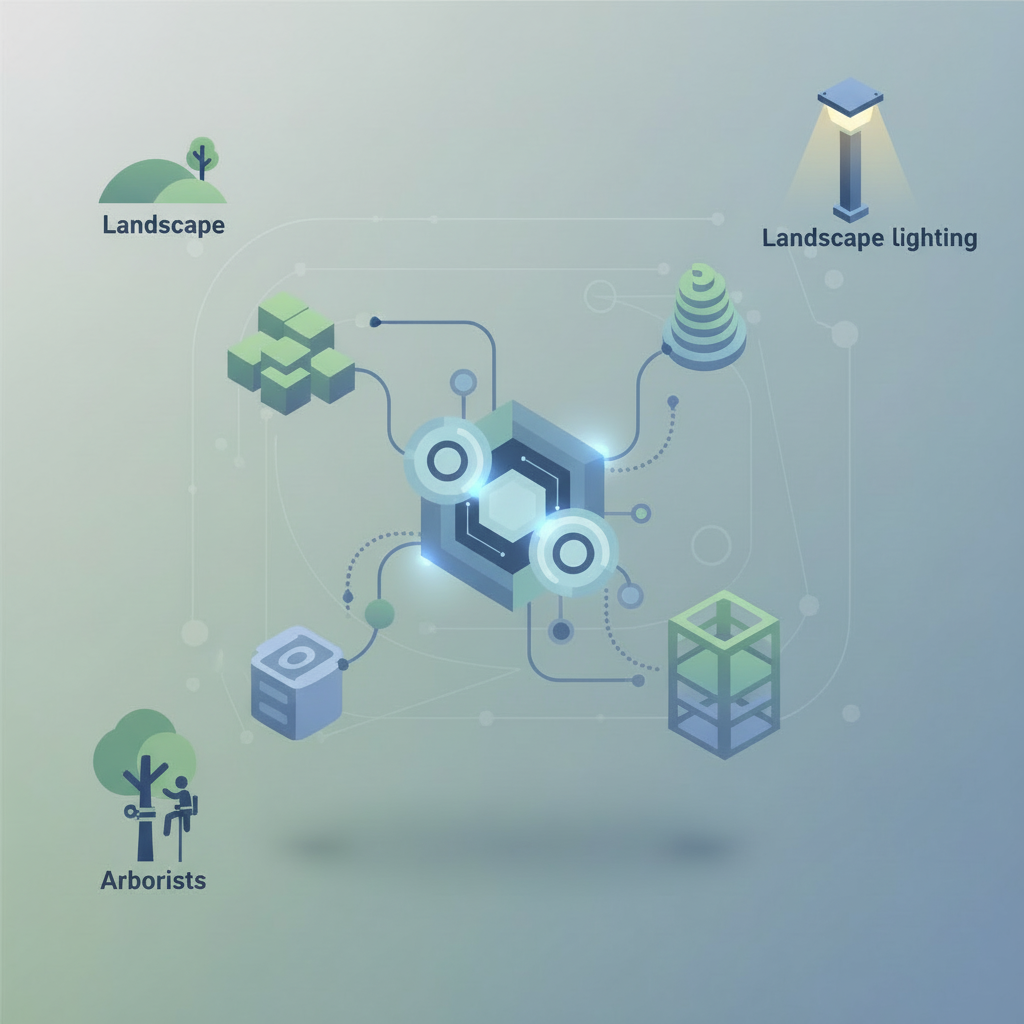
Industries We Serve

IrriGAP
Streamline your irrigation service with centralized digital maps that give field and office teams the shared visibility needed to find assets faster and coordinate with ease.

SnowGAP
Master winter operations with real-time mapping that aligns field crews and office staff on site priorities and conditions for faster, more efficient snow removal.
FutureGAPs
Partner with us to build the next generation of industry-specific mapping tools, ensuring every new solution is custom-fitted to your team’s real-world workflows from day one.
Our Vision
At GreenGAP, our vision is to bring clarity across the entire organization through a shared platform that supports the specific needs of each role. From field technicians to office staff, everyone works from the same system, with information presented in a way that is relevant and usable for their responsibilities. We design our platform to support businesses of all sizes, allowing it to grow alongside your company and adapt as your operations evolve.

Start The Conversation
Tell us about your operation and the challenges you’re looking to solve. We’ll walk through how GreenGAP can support your team with a shared, role-based platform.